WASHINGTON, D.C. — The Department of the Interior has begun publishing recreation access data and is rolling out a new mapping platform intended to make information about public land and water access easier to find, a move aimed at improving navigation, trip planning, and outdoor recreation across federally managed lands.
The effort advances implementation of the Modernizing Access to Our Public Land Act and the Modernizing Access to Our Public Waters Act, which require federal agencies to digitize and publish information such as roads, trails, easements, and water access points in standardized formats.
Interior officials said the initiative addresses longstanding challenges associated with fragmented and difficult-to-access recreation information spread across multiple agencies and jurisdictions.
The department, working in part through the U.S. Geological Survey, has already begun releasing datasets, including easement information, with additional recreation access data expected in future phases.
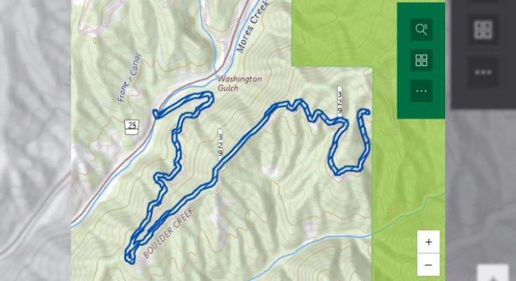
A public-facing MAPLand Act Viewer launched June 1, coinciding with Great Outdoors Month. The platform is expected to serve as a centralized location for recreation access information from participating federal agencies.
According to the department, the completed system will provide information on where public access is available, which roads and trails are open or closed, seasonal restrictions, permitted recreational activities, and areas where uses such as hunting or recreational shooting may be restricted.
Interior Secretary Doug Burgum characterized the initiative as part of a broader effort to improve public access to government information.
“By improving access to reliable, up-to-date information, we’re supporting outdoor recreation, reducing confusion on the ground and helping people make the most of the lands and waters they own,” Burgum said.
The project involves coordination with multiple federal agencies, including the U.S. Forest Service and the U.S. Army Corps of Engineers, to standardize recreation data across jurisdictions.
Outdoor recreation supports local economies nationwide and generates hundreds of billions of dollars annually in economic activity, making access information increasingly important for visitors and land managers alike.
Interior officials said additional datasets and platform enhancements will be released over time as agencies continue implementing the MAPLand and MAPWaters requirements over the coming years.
For more information, visit www.doi.gov.
Support the local news that supports Chester County. MyChesCo delivers reliable, fact-based reporting and essential community resources—free for everyone. If you value that, click here to become a patron today.